
Emergency Plan
About this model
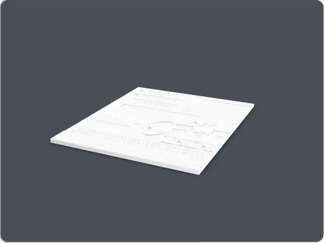
I made this as an early tactile evacuation-plan experiment. The idea is simple: important route information should not only be visual. Raised lines, symbols and labels make the plan possible to read by touch.
What it looks like
The download contains two flat panels. Each panel is a thin rectangular plate with raised map details, route lines, symbols and text areas. The details sit above the surface so they can be followed with a finger.
Details
- Dimensions
- About 210 x 250 x 6 mm.
- Materials and printing
- Each panel is about 210 x 250 x 6 mm. I would print the panels in PLA with a clean top surface and enough detail quality for raised symbols and labels.
- Price
- Free